
Tungo topographic map
Interactive map
Click on the map to display elevation.
About this map
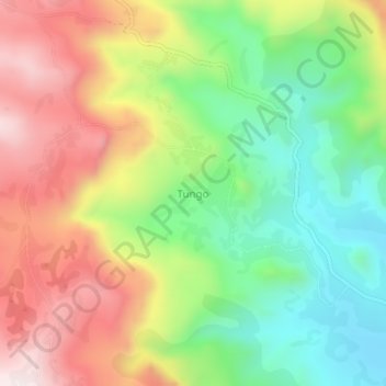
Name: Tungo topographic map, elevation, terrain.
Location: Tungo, Mezam, Northwest, Cameroon (5.95753 10.29594 5.99753 10.33594)
Average elevation: 1,470 m
Minimum elevation: 1,187 m
Maximum elevation: 1,816 m