
东和乡 topographic map
Interactive map
Click on the map to display elevation.
About this map
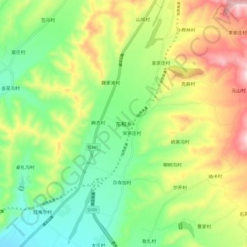
Name: 东和乡 topographic map, elevation, terrain.
Location: 东和乡, 互助土族自治县, 海东市, 青海省, 中国 (36.86919 102.01423 36.94919 102.09423)
Average elevation: 2,812 m
Minimum elevation: 2,627 m
Maximum elevation: 3,101 m
Other topographic maps
Click on a map to view its topography, its elevation and its terrain.