
Mountain topographic map
Interactive map
Click on the map to display elevation.
Mountain
Mountain was officially laid out in 1884. The city was named on account of its lofty elevation. A post office called Mountain has been in operation since 1881. The Vikur Lutheran Church at Mountain was built in 1884.
About this map
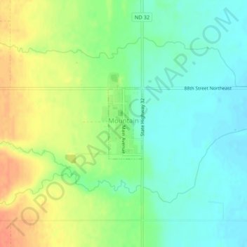
Name: Mountain topographic map, elevation, terrain.
Location: Mountain, Pembina County, North Dakota, United States (48.68020 -97.86786 48.68793 -97.86212)
Average elevation: 325 m
Minimum elevation: 306 m
Maximum elevation: 352 m