
Pluscarden topographic map
Interactive map
Click on the map to display elevation.
About this map
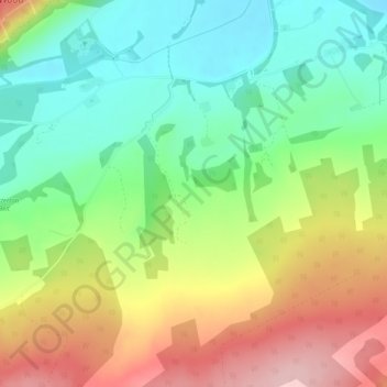
Name: Pluscarden topographic map, elevation, terrain.
Location: Pluscarden, Moray, Schotland, IV30 8UB, Verenigd Koninkrijk (57.58001 -3.43298 57.60001 -3.41298)
Average elevation: 130 m
Minimum elevation: 46 m
Maximum elevation: 249 m
Other topographic maps
Click on a map to view its topography, its elevation and its terrain.
Mayern
Verenigd Koninkrijk > Schotland > Moray
Mayern, Moray, Schotland, AB54 7NL, Verenigd Koninkrijk
Average elevation: 143 m
Tomintoul
Verenigd Koninkrijk > Schotland > Moray
Tomintoul, Moray, Schotland, AB37 9ET, Verenigd Koninkrijk
Average elevation: 374 m
Findhorn
Verenigd Koninkrijk > Schotland > Moray
Findhorn, Moray, Schotland, IV36 3YG, Verenigd Koninkrijk
Average elevation: 3 m
Elgin
Verenigd Koninkrijk > Schotland > Moray
Elgin, Moray, Schotland, IV30 1EB, Verenigd Koninkrijk
Average elevation: 26 m