
Thank you for supporting this site ❤️
Make a donation
Make a donation
Dogwood Shores topographic map
Click on the map to display elevation.
Thank you for supporting this site ❤️
Make a donation
Make a donation
About this map
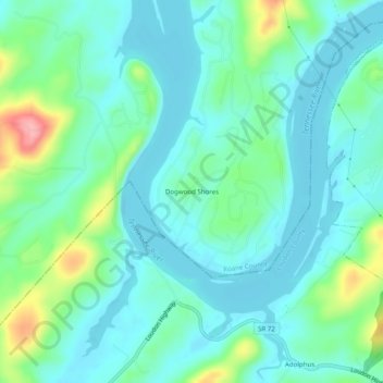
Name: Dogwood Shores topographic map, elevation, terrain.
Location: Dogwood Shores, Roane County, Tennessee, United States (35.73924 -84.45937 35.77924 -84.41937)
Average elevation: 251 m
Minimum elevation: 223 m
Maximum elevation: 345 m
Thank you for supporting this site ❤️
Make a donation
Make a donation
Other topographic maps
Click on a map to view its topography, its elevation and its terrain.