Geolocate

Okuku River topographic map

Interactive map

Click on the map to display elevation.

About this map

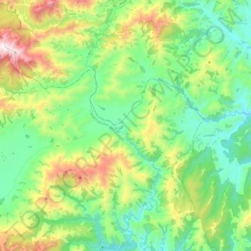
Name: Okuku River topographic map, elevation, terrain.

Location: Okuku River, Waimakariri District, Canterbury, New Zealand (-43.12823 172.32501 -42.97572 172.38678)

Average elevation: 653 m

Minimum elevation: 296 m

Maximum elevation: 1,456 m

Other topographic maps

Click on a map to view its topography, its elevation and its terrain.

Tasman Glacier

New Zealand > Canterbury

Average elevation: 1,793 m

Anna Glacier

New Zealand > Canterbury

Average elevation: 2,446 m

Christchurch

New Zealand > Canterbury > Christchurch > Lyttelton

Average elevation: 48 m

Cascade Glacier

New Zealand > Canterbury

Average elevation: 2,106 m

Mount Hutt

New Zealand > Canterbury

Average elevation: 1,732 m

Aida Glacier

New Zealand > Canterbury

Average elevation: 1,999 m

Godley Glacier

New Zealand > Canterbury

Average elevation: 1,579 m

Mount Dampier

New Zealand > Canterbury

Average elevation: 2,847 m