
Candia topographic map
Interactive map
Click on the map to display elevation.
About this map
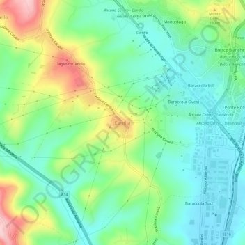
Name: Candia topographic map, elevation, terrain.
Location: Candia, Ancona, Marche, 60131, Italia (43.54596 13.47223 43.58596 13.51223)
Average elevation: 104 m
Minimum elevation: 32 m
Maximum elevation: 259 m
Other topographic maps
Click on a map to view its topography, its elevation and its terrain.