
Thank you for supporting this site ❤️
Make a donation
Make a donation
Monticello topographic map
Click on the map to display elevation.
Thank you for supporting this site ❤️
Make a donation
Make a donation
About this map
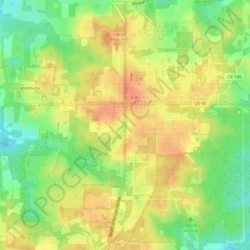
Name: Monticello topographic map, elevation, terrain.
Location: Monticello, Jefferson County, Florida, 32345, United States (30.52088 -83.89365 30.56220 -83.85142)
Average elevation: 58 m
Minimum elevation: 29 m
Maximum elevation: 81 m
Thank you for supporting this site ❤️
Make a donation
Make a donation
Other topographic maps
Click on a map to view its topography, its elevation and its terrain.