
Gurara topographic map
Click on the map to display elevation.
About this map
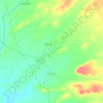
Name: Gurara topographic map, elevation, terrain.
Location: Gurara, Nepanagar Tahsil, Burhanpur, Madhya Pradesh, India (21.44324 76.56684 21.48805 76.60753)
Average elevation: 294 m
Minimum elevation: 266 m
Maximum elevation: 337 m