
Plaistow topographic map
Interactive map
Click on the map to display elevation.
About this map
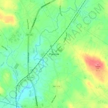
Name: Plaistow topographic map, elevation, terrain.
Location: Plaistow, Rockingham County, New Hampshire, 03865, USA (42.81648 -71.11478 42.85648 -71.07478)
Average elevation: 37 m
Minimum elevation: 6 m
Maximum elevation: 86 m