
Thank you for supporting this site ❤️
Make a donation
Make a donation
Cappel topographic map
Click on the map to display elevation.
Thank you for supporting this site ❤️
Make a donation
Make a donation
About this map
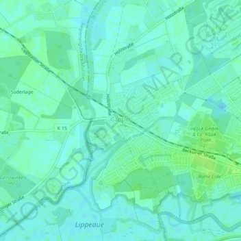
Name: Cappel topographic map, elevation, terrain.
Location: Cappel, Lippstadt, Kreis Soest, Nordrhein-Westfalen, Deutschland (51.67099 8.29292 51.69620 8.31528)
Average elevation: 75 m
Minimum elevation: 71 m
Maximum elevation: 81 m
Thank you for supporting this site ❤️
Make a donation
Make a donation
Other topographic maps
Click on a map to view its topography, its elevation and its terrain.