
Thank you for supporting this site ❤️
Make a donation
Make a donation
Springhill topographic map
Click on the map to display elevation.
Thank you for supporting this site ❤️
Make a donation
Make a donation
About this map
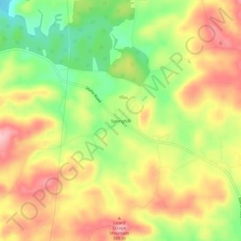
Name: Springhill topographic map, elevation, terrain.
Location: Springhill, Clay County, Alabama, United States (33.29039 -85.94191 33.33039 -85.90191)
Average elevation: 367 m
Minimum elevation: 280 m
Maximum elevation: 443 m
Thank you for supporting this site ❤️
Make a donation
Make a donation
Other topographic maps
Click on a map to view its topography, its elevation and its terrain.