
Thank you for supporting this site ❤️
Make a donation
Make a donation
Sandusky topographic map
Click on the map to display elevation.
Thank you for supporting this site ❤️
Make a donation
Make a donation
About this map
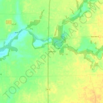
Name: Sandusky topographic map, elevation, terrain.
Location: Sandusky, Decatur County, Indiana, United States (39.39949 -85.49803 39.43949 -85.45803)
Average elevation: 288 m
Minimum elevation: 271 m
Maximum elevation: 299 m
Thank you for supporting this site ❤️
Make a donation
Make a donation
Other topographic maps
Click on a map to view its topography, its elevation and its terrain.