
Thank you for supporting this site ❤️
Make a donation
Make a donation
Kattenturm topographic map
Click on the map to display elevation.
Thank you for supporting this site ❤️
Make a donation
Make a donation
About this map
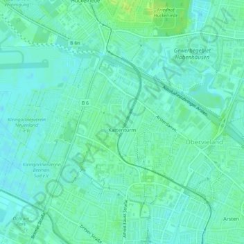
Name: Kattenturm topographic map, elevation, terrain.
Location: Kattenturm, Obervieland, Bremen-Süd, Bremen, 28277, Deutschland (53.03020 8.80762 53.05184 8.84371)
Average elevation: 7 m
Minimum elevation: 2 m
Maximum elevation: 15 m
Thank you for supporting this site ❤️
Make a donation
Make a donation
Other topographic maps
Click on a map to view its topography, its elevation and its terrain.