
Thank you for supporting this site ❤️
Make a donation
Make a donation
Gibson topographic map
Click on the map to display elevation.
Thank you for supporting this site ❤️
Make a donation
Make a donation
About this map
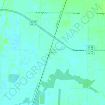
Name: Gibson topographic map, elevation, terrain.
Location: Gibson, Craighead County, Arkansas, United States (35.75702 -90.83567 35.79702 -90.79567)
Average elevation: 78 m
Minimum elevation: 74 m
Maximum elevation: 84 m
Thank you for supporting this site ❤️
Make a donation
Make a donation
Other topographic maps
Click on a map to view its topography, its elevation and its terrain.