
El Epazote topographic map
Interactive map
Click on the map to display elevation.
About this map
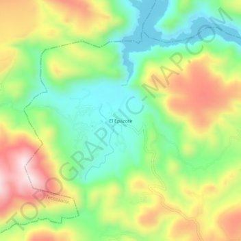
Name: El Epazote topographic map, elevation, terrain.
Location: El Epazote, Tasquillo, Hidalgo, México (20.57361 -99.47722 20.61361 -99.43722)
Average elevation: 1,738 m
Minimum elevation: 1,549 m
Maximum elevation: 2,002 m
Other topographic maps
Click on a map to view its topography, its elevation and its terrain.