
Kinda kommun topographic map
Interactive map
Click on the map to display elevation.
About this map
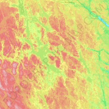
Name: Kinda kommun topographic map, elevation, terrain.
Location: Kinda kommun, Östergötland County, Sweden (57.78741 15.35944 58.20907 16.09281)
Average elevation: 133 m
Minimum elevation: 13 m
Maximum elevation: 279 m