
Panj topographic map
Interactive map
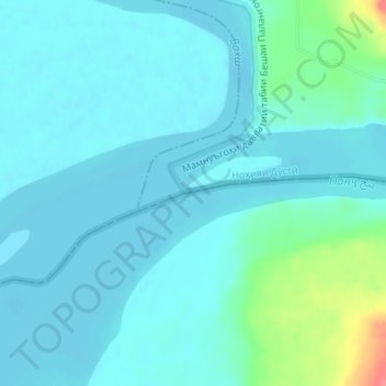
Click on the map to display elevation.
About this map
Name: Panj topographic map, elevation, terrain.
Location: Panj, Qalay-I-Zal, Kunduz, Afghanistan (37.10504 68.30643 37.10846 68.32308)
Average elevation: 328 m
Minimum elevation: 317 m
Maximum elevation: 385 m