
Thank you for supporting this site ❤️
Make a donation
Make a donation
Kampung Soh topographic map
Click on the map to display elevation.
Thank you for supporting this site ❤️
Make a donation
Make a donation
About this map
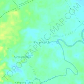
Name: Kampung Soh topographic map, elevation, terrain.
Location: Kampung Soh, Serian, Serian Division, Sarawak, Malaysia (1.31849 110.47355 1.35849 110.51355)
Average elevation: 7 m
Minimum elevation: 0 m
Maximum elevation: 19 m
Thank you for supporting this site ❤️
Make a donation
Make a donation
Other topographic maps
Click on a map to view its topography, its elevation and its terrain.