
Les Moutiers topographic map
Interactive map
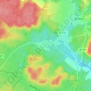
Click on the map to display elevation.
About this map
Name: Les Moutiers topographic map, elevation, terrain.
Average elevation: 123 m
Minimum elevation: 89 m
Maximum elevation: 170 m
Other topographic maps
Click on a map to view its topography, its elevation and its terrain.
Longchène
France > Île-de-France > Yvelines > Bullion
Longchène, Bullion, Rambouillet, Yvelines, Île-de-France, France métropolitaine, 78830, France
Average elevation: 156 m