
Stokesley topographic map
Click on the map to display elevation.
About this map
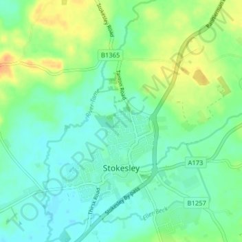
Name: Stokesley topographic map, elevation, terrain.
Location: Stokesley, Hambleton, North Yorkshire, England, United Kingdom (54.45870 -1.21172 54.49627 -1.16956)
Average elevation: 74 m
Minimum elevation: 62 m
Maximum elevation: 97 m