
Motten topographic map
Interactive map
Click on the map to display elevation.
About this map
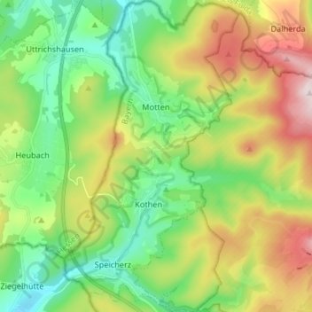
Name: Motten topographic map, elevation, terrain.
Location: Motten, Landkreis Bad Kissingen, Beieren, 97786, Duitsland (50.34163 9.73298 50.42572 9.80688)
Average elevation: 510 m
Minimum elevation: 327 m
Maximum elevation: 836 m