
Thank you for supporting this site ❤️
Make a donation
Make a donation
Eyota topographic map
Click on the map to display elevation.
Thank you for supporting this site ❤️
Make a donation
Make a donation
About this map
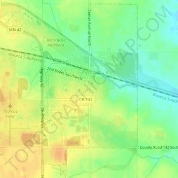
Name: Eyota topographic map, elevation, terrain.
Location: Eyota, Olmsted County, Minnesota, United States (43.97318 -92.25376 43.99909 -92.21906)
Average elevation: 384 m
Minimum elevation: 367 m
Maximum elevation: 398 m
Thank you for supporting this site ❤️
Make a donation
Make a donation
Other topographic maps
Click on a map to view its topography, its elevation and its terrain.