
Thank you for supporting this site ❤️
Make a donation
Make a donation
Castelo de Linhares topographic map
Click on the map to display elevation.
Thank you for supporting this site ❤️
Make a donation
Make a donation
Castelo de Linhares
The Castelo de Linhares da Beira was built between the end of the 11th century and the early 12th century. It is at an altitude of 820 meters and is Romano Gothic in architectural style. It is contained within two walled stone enclosures. It possesses two towers, the keep and the clock tower, and four gates. The first gate contains a barrel vault; the second a round arch set into the side walls; the third a blunt arch in the wall separating the two enclosures and the fourth gate is known as the Traitors' Gate.
Thank you for supporting this site ❤️
Make a donation
Make a donation
About this map
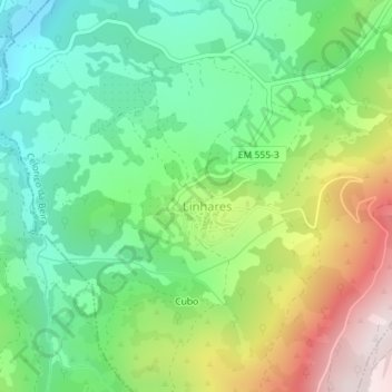
Name: Castelo de Linhares topographic map, elevation, terrain.
Average elevation: 751 m
Minimum elevation: 519 m
Maximum elevation: 1,166 m
Thank you for supporting this site ❤️
Make a donation
Make a donation