
Thank you for supporting this site ❤️
Make a donation
Make a donation
Haeckerville topographic map
Click on the map to display elevation.
Thank you for supporting this site ❤️
Make a donation
Make a donation
About this map
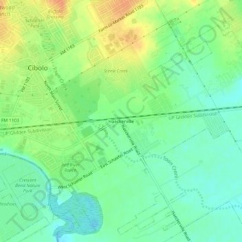
Name: Haeckerville topographic map, elevation, terrain.
Location: Haeckerville, Cibolo, Guadalupe County, Texas, United States (29.54190 -98.23723 29.58190 -98.19723)
Average elevation: 213 m
Minimum elevation: 196 m
Maximum elevation: 236 m
Thank you for supporting this site ❤️
Make a donation
Make a donation