
Denison topographic map
Click on the map to display elevation.
About this map
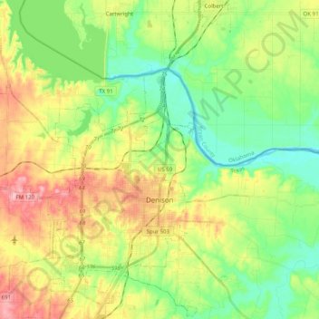
Name: Denison topographic map, elevation, terrain.
Location: Denison, Grayson County, Texas, 75020, United States (33.69465 -96.68126 33.85842 -96.48115)
Average elevation: 199 m
Minimum elevation: 149 m
Maximum elevation: 275 m
Other topographic maps
Click on a map to view its topography, its elevation and its terrain.