
Ijare topographic map
Click on the map to display elevation.
About this map
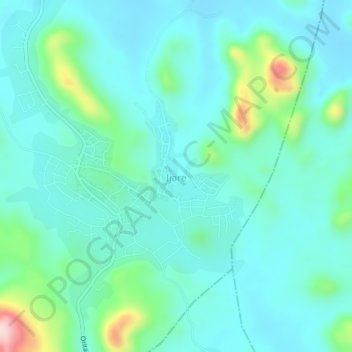
Name: Ijare topographic map, elevation, terrain.
Location: Ijare, Ifedore, Ondo State, Nigeria (7.34523 5.15517 7.38523 5.19517)
Average elevation: 409 m
Minimum elevation: 356 m
Maximum elevation: 634 m