
Thank you for supporting this site ❤️
Make a donation
Make a donation
Peguety topographic map
Click on the map to display elevation.
Thank you for supporting this site ❤️
Make a donation
Make a donation
About this map
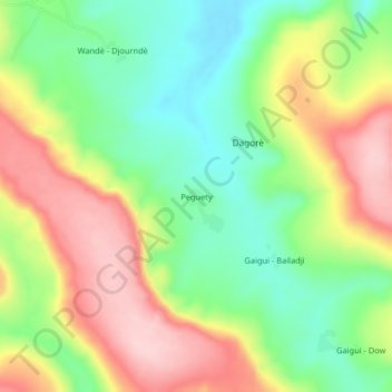
Name: Peguety topographic map, elevation, terrain.
Location: Peguety, Télimélé Prefecture, Kindia Region, Guinea (10.97762 -13.22342 11.01762 -13.18342)
Average elevation: 355 m
Minimum elevation: 251 m
Maximum elevation: 484 m
Thank you for supporting this site ❤️
Make a donation
Make a donation