
Thank you for supporting this site ❤️
Make a donation
Make a donation
Coral Ridge Isles topographic map
Click on the map to display elevation.
Thank you for supporting this site ❤️
Make a donation
Make a donation
About this map
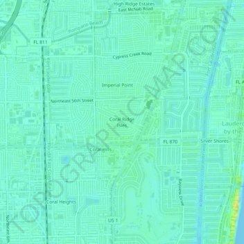
Name: Coral Ridge Isles topographic map, elevation, terrain.
Average elevation: 7 m
Minimum elevation: -1 m
Maximum elevation: 27 m
Thank you for supporting this site ❤️
Make a donation
Make a donation
Other topographic maps
Click on a map to view its topography, its elevation and its terrain.
Bonita Bay
United States > Florida > Broward County > Fort Lauderdale > Soroka Shores
Average elevation: 4 m
Bonita Bay
United States > Florida > Broward County > Fort Lauderdale > Soroka Shores
Average elevation: 4 m
Fort Lauderdale Beach
United States > Florida > Broward County > Fort Lauderdale > Birch Ocean Front
Average elevation: 3 m