
Thank you for supporting this site ❤️
Make a donation
Make a donation
Ebbamåla topographic map
Click on the map to display elevation.
Thank you for supporting this site ❤️
Make a donation
Make a donation
About this map
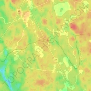
Name: Ebbamåla topographic map, elevation, terrain.
Location: Ebbamåla, Gemeinde Ronneby, Provinz Blekinge, Schweden (56.42778 15.00618 56.46778 15.04618)
Average elevation: 130 m
Minimum elevation: 101 m
Maximum elevation: 149 m
Thank you for supporting this site ❤️
Make a donation
Make a donation