
Thank you for supporting this site ❤️
Make a donation
Make a donation
Beaverdam Lake topographic map
Click on the map to display elevation.
Thank you for supporting this site ❤️
Make a donation
Make a donation
About this map
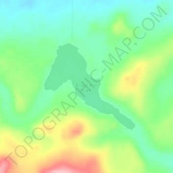
Name: Beaverdam Lake topographic map, elevation, terrain.
Location: Beaverdam Lake, Cardston County, Alberta, Canada (49.07709 -113.61541 49.09070 -113.59373)
Average elevation: 1,420 m
Minimum elevation: 1,369 m
Maximum elevation: 1,510 m
Thank you for supporting this site ❤️
Make a donation
Make a donation
Other topographic maps
Click on a map to view its topography, its elevation and its terrain.