
Artigas topographic map
Interactive map
Click on the map to display elevation.
About this map
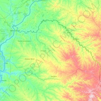
Name: Artigas topographic map, elevation, terrain.
Location: Artigas, Uruguay (-31.08267 -57.89003 -30.08540 -55.98960)
Average elevation: 124 m
Minimum elevation: 30 m
Maximum elevation: 414 m