
大掌 topographic map
Interactive map
Click on the map to display elevation.
About this map
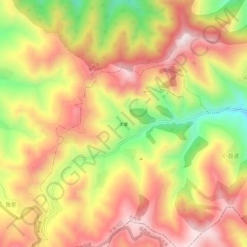
Name: 大掌 topographic map, elevation, terrain.
Location: 大掌, 西果园, 七里河区, 兰州市, 甘肃省, 中国 (35.92217 103.66057 35.96217 103.70057)
Average elevation: 2,599 m
Minimum elevation: 2,294 m
Maximum elevation: 2,824 m