
Thank you for supporting this site ❤️
Make a donation
Make a donation
Potts Preserve topographic map
Click on the map to display elevation.
Thank you for supporting this site ❤️
Make a donation
Make a donation
About this map
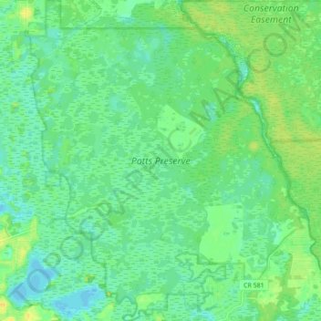
Name: Potts Preserve topographic map, elevation, terrain.
Location: Potts Preserve, Citrus County, Florida, 34451, United States (28.88449 -82.35343 28.96066 -82.27722)
Average elevation: 13 m
Minimum elevation: 4 m
Maximum elevation: 26 m
Thank you for supporting this site ❤️
Make a donation
Make a donation
Other topographic maps
Click on a map to view its topography, its elevation and its terrain.