
Thank you for supporting this site ❤️
Make a donation
Make a donation
Oakville topographic map
Click on the map to display elevation.
Thank you for supporting this site ❤️
Make a donation
Make a donation
About this map
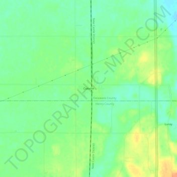
Name: Oakville topographic map, elevation, terrain.
Location: Oakville, Delaware County, Indiana, 47367, United States (40.05921 -85.41053 40.09921 -85.37053)
Average elevation: 309 m
Minimum elevation: 293 m
Maximum elevation: 331 m
Thank you for supporting this site ❤️
Make a donation
Make a donation
Other topographic maps
Click on a map to view its topography, its elevation and its terrain.