
Thank you for supporting this site ❤️
Make a donation
Make a donation
Monkey Run topographic map
Click on the map to display elevation.
Thank you for supporting this site ❤️
Make a donation
Make a donation
About this map
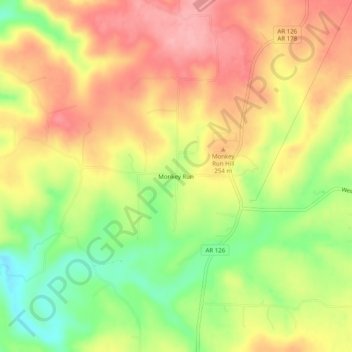
Name: Monkey Run topographic map, elevation, terrain.
Location: Monkey Run, Baxter County, Arkansas, 72651, United States (36.32535 -92.49988 36.36535 -92.45988)
Average elevation: 234 m
Minimum elevation: 167 m
Maximum elevation: 288 m
Thank you for supporting this site ❤️
Make a donation
Make a donation
Other topographic maps
Click on a map to view its topography, its elevation and its terrain.