
Thank you for supporting this site ❤️
Make a donation
Make a donation
El Cedazo topographic map
Click on the map to display elevation.
Thank you for supporting this site ❤️
Make a donation
Make a donation
About this map
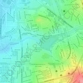
Name: El Cedazo topographic map, elevation, terrain.
Average elevation: 1,911 m
Minimum elevation: 1,878 m
Maximum elevation: 1,986 m
Thank you for supporting this site ❤️
Make a donation
Make a donation
Other topographic maps
Click on a map to view its topography, its elevation and its terrain.
Centro Deportivo Mujeres Ilustres
México > Aguascalientes > Municipio de Aguascalientes > Aguascalientes
Average elevation: 1,957 m