
Thank you for supporting this site ❤️
Make a donation
Make a donation
Dondapadu topographic map
Click on the map to display elevation.
Thank you for supporting this site ❤️
Make a donation
Make a donation
About this map
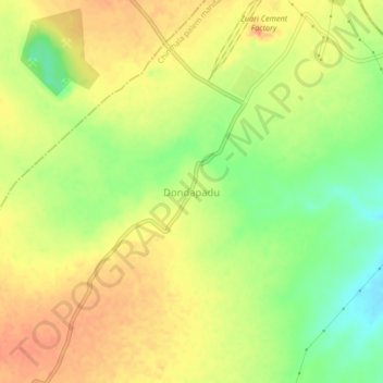
Name: Dondapadu topographic map, elevation, terrain.
Location: Dondapadu, Chinthala palem mandal, Suryapet, Telangana, India (16.79520 80.00892 16.83520 80.04892)
Average elevation: 71 m
Minimum elevation: 44 m
Maximum elevation: 89 m
Thank you for supporting this site ❤️
Make a donation
Make a donation