
宽甸镇 topographic map
Interactive map
Click on the map to display elevation.
About this map
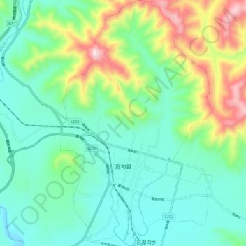
Name: 宽甸镇 topographic map, elevation, terrain.
Location: 宽甸镇, 宽甸满族自治县, 丹东市, 辽宁省, 中国 (40.70243 124.74905 40.78348 124.81557)
Average elevation: 401 m
Minimum elevation: 220 m
Maximum elevation: 885 m
Other topographic maps
Click on a map to view its topography, its elevation and its terrain.