
Ulba topographic map
Interactive map
Click on the map to display elevation.
About this map
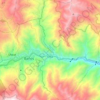
Name: Ulba topographic map, elevation, terrain.
Location: Ulba, Baños, Tungurahua, Ecuador (-1.45231 -78.41055 -1.32199 -78.33057)
Average elevation: 2,608 m
Minimum elevation: 1,446 m
Maximum elevation: 3,938 m
Other topographic maps
Click on a map to view its topography, its elevation and its terrain.
Río Negro
Ecuador > Tungurahua > Baños
Río Negro, Baños, Tungurahua, 180302, Ecuador
Average elevation: 2,421 m