
Thank you for supporting this site ❤️
Make a donation
Make a donation
Indian Hills topographic map
Click on the map to display elevation.
Thank you for supporting this site ❤️
Make a donation
Make a donation
About this map
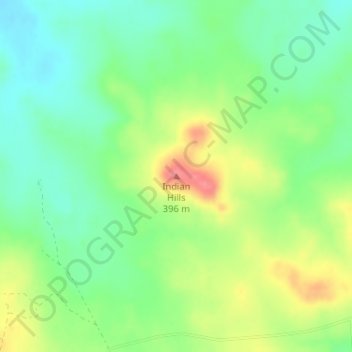
Name: Indian Hills topographic map, elevation, terrain.
Location: Indian Hills, Jack County, Texas, United States (33.32506 -98.29260 33.32516 -98.29250)
Average elevation: 343 m
Minimum elevation: 312 m
Maximum elevation: 391 m
Thank you for supporting this site ❤️
Make a donation
Make a donation
Other topographic maps
Click on a map to view its topography, its elevation and its terrain.