
Ogharefe topographic map
Click on the map to display elevation.
About this map
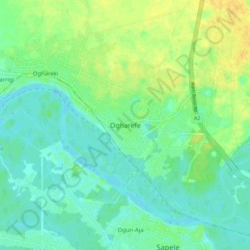
Name: Ogharefe topographic map, elevation, terrain.
Location: Ogharefe, Ethiope West, Delta State, Nigeria (5.89388 5.62587 5.97388 5.70587)
Average elevation: 9 m
Minimum elevation: -3 m
Maximum elevation: 23 m