
Sangotedo topographic map
Click on the map to display elevation.
About this map
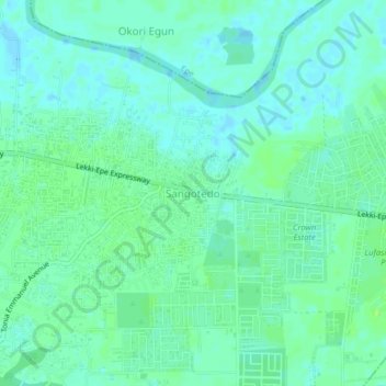
Name: Sangotedo topographic map, elevation, terrain.
Location: Sangotedo, Eti Osa, Lagos State, 101245, Nigeria (6.45102 3.61558 6.49102 3.65558)
Average elevation: 5 m
Minimum elevation: -2 m
Maximum elevation: 10 m