
Thank you for supporting this site ❤️
Make a donation
Make a donation
Malz topographic map
Click on the map to display elevation.
Thank you for supporting this site ❤️
Make a donation
Make a donation
About this map
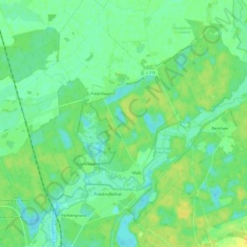
Name: Malz topographic map, elevation, terrain.
Location: Malz, Oranienburg, Oberhavel, Brandenburg, Deutschland (52.78797 13.24071 52.84647 13.35967)
Average elevation: 40 m
Minimum elevation: 31 m
Maximum elevation: 52 m
Thank you for supporting this site ❤️
Make a donation
Make a donation
Other topographic maps
Click on a map to view its topography, its elevation and its terrain.