
Thank you for supporting this site ❤️
Make a donation
Make a donation
Barksdale topographic map
Click on the map to display elevation.
Thank you for supporting this site ❤️
Make a donation
Make a donation
About this map
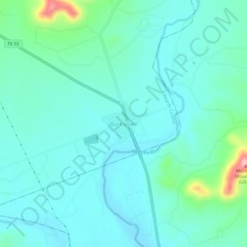
Name: Barksdale topographic map, elevation, terrain.
Location: Barksdale, Edwards County, Texas, 78828, United States (29.70563 -100.05587 29.74563 -100.01587)
Average elevation: 476 m
Minimum elevation: 444 m
Maximum elevation: 625 m
Thank you for supporting this site ❤️
Make a donation
Make a donation