
Andong-si topographic map
Interactive map
Click on the map to display elevation.
About this map
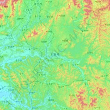
Name: Andong-si topographic map, elevation, terrain.
Location: Andong-si, North Gyeongsang, South Korea (36.29507 128.42919 36.82308 129.00099)
Average elevation: 249 m
Minimum elevation: 44 m
Maximum elevation: 1,023 m
Other topographic maps
Click on a map to view its topography, its elevation and its terrain.