
Thank you for supporting this site ❤️
Make a donation
Make a donation
Mühlberg topographic map
Click on the map to display elevation.
Thank you for supporting this site ❤️
Make a donation
Make a donation
About this map
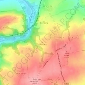
Name: Mühlberg topographic map, elevation, terrain.
Location: Mühlberg, Döbeln, Mittelsachsen, Sachsen, 04736, Deutschland (51.10395 13.05001 51.10405 13.05011)
Average elevation: 238 m
Minimum elevation: 164 m
Maximum elevation: 287 m
Thank you for supporting this site ❤️
Make a donation
Make a donation
Other topographic maps
Click on a map to view its topography, its elevation and its terrain.