
Thank you for supporting this site ❤️
Make a donation
Make a donation
Minerva topographic map
Click on the map to display elevation.
Thank you for supporting this site ❤️
Make a donation
Make a donation
About this map
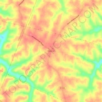
Name: Minerva topographic map, elevation, terrain.
Location: Minerva, Mason County, Kentucky, 41062, United States (38.68535 -83.93909 38.72535 -83.89909)
Average elevation: 270 m
Minimum elevation: 225 m
Maximum elevation: 293 m
Thank you for supporting this site ❤️
Make a donation
Make a donation