
Ritthem topographic map
Interactive map
Click on the map to display elevation.
About this map
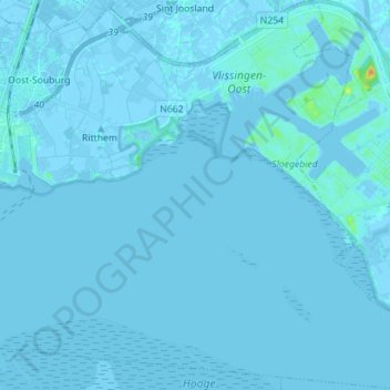
Name: Ritthem topographic map, elevation, terrain.
Location: Ritthem, Vlissingen, Seeland, Niederlande (51.39461 3.60167 51.48228 3.73803)
Average elevation: 0 m
Minimum elevation: -6 m
Maximum elevation: 28 m
Other topographic maps
Click on a map to view its topography, its elevation and its terrain.
Oost-Souburg
Niederlande > Seeland > Vlissingen
Oost-Souburg, Vlissingen, Seeland, Niederlande
Average elevation: 0 m