
Derwent Reservoir topographic map
Interactive map
Click on the map to display elevation.
About this map
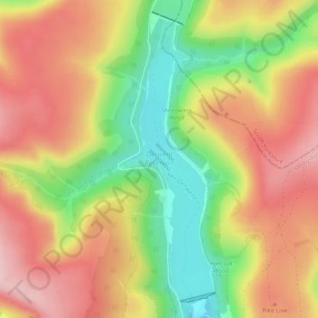
Name: Derwent Reservoir topographic map, elevation, terrain.
Average elevation: 345 m
Minimum elevation: 215 m
Maximum elevation: 456 m
Other topographic maps
Click on a map to view its topography, its elevation and its terrain.
Ladybower Reservoir
Vereinigtes Königreich > England > High Peak
Ladybower Reservoir, Derwent Lane, Derwent, High Peak, Derbyshire, East Midlands, England, S33 0AX, Vereinigtes Königreich
Average elevation: 313 m